
Best Surfing Spots

Sandstone cliffs, canyon trails, and scenic hikes across LA County
Last Updated: August 21, 2026
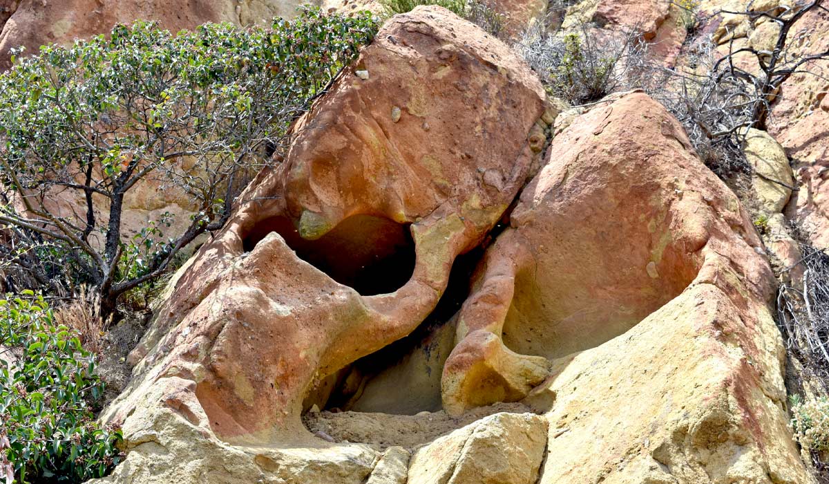
Los Angeles is home to some of the best rock formation hikes in Southern California, where towering sandstone cliffs, natural arches, and rugged canyon trails create unforgettable scenery for hikers and photographers alike. This 2026 guide ranks the top 10 hiking trails with rock formations in LA County, from easy afternoon walks to strenuous scrambles, complete with trail lengths, difficulty notes, and the geology and film history that make each spot worth the trip. Vasquez Rocks Natural Area Park is famous for its striking, jagged rock formations and has been featured in countless movies and TV shows, making it a must-see for both nature lovers and pop culture fans. The Sandstone Peak Trail in the Santa Monica Mountains provides breathtaking vistas alongside rugged rock outcrops, perfect for photography and exploration. Malibu Creek State Park offers trails with stunning sandstone cliffs and canyon scenery, while Echo Mountain via Sam Merrill Trail rewards hikers with panoramic views of the city and fascinating rock structures. Whether you're planning a short weekend hike or a longer trek, these rock-filled trails deliver some of the most unique and scenic hiking experiences Los Angeles has to offer.
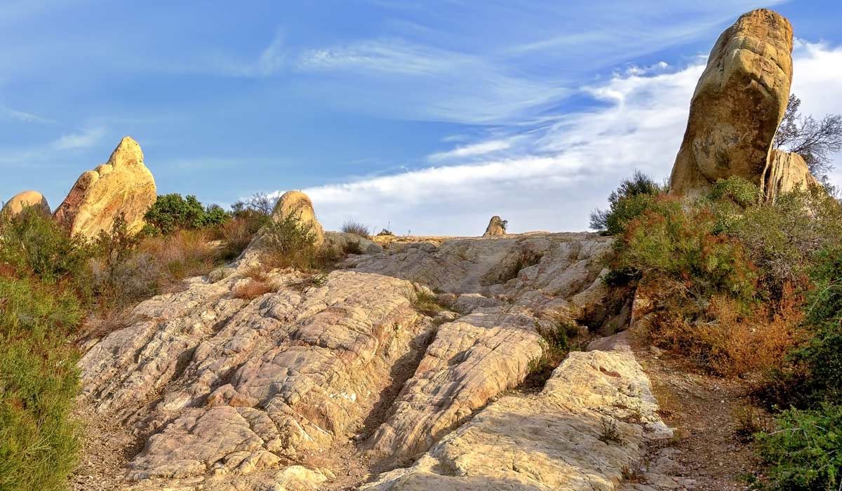
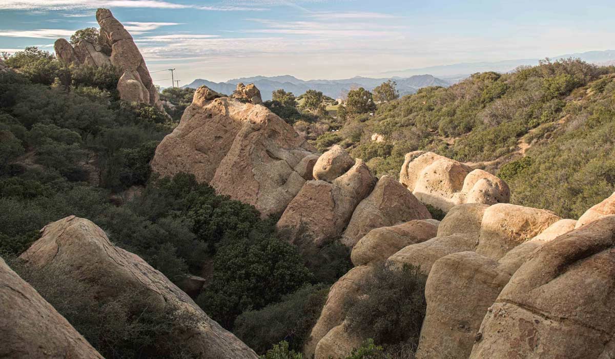
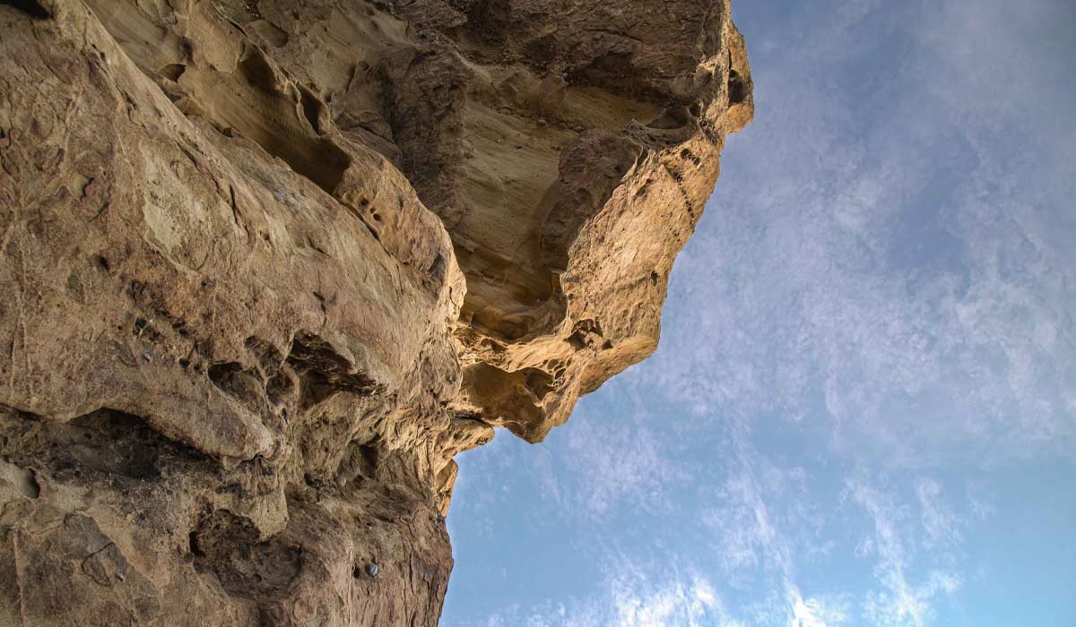
Traverse the breathtaking expanse of the Santa Monica Mountains along the illustrious Backbone Trail, a 67-mile path that winds from Will Rogers State Historic Park in the Pacific Palisades to Point Mugu State Park in Malibu, California. As you trek across ridgelines and through canyons, you'll immerse yourself in the unparalleled beauty of the region, with deeply wooded landscapes, rugged rock formations, and sweeping ocean vistas stretching out before you. But this trail isn't just about natural splendor; it's also a journey through cinematic history. Along the way, you'll encounter the former 20th Century Fox Ranch, now known as Malibu Creek State Park, where iconic films like "How Green Was My Valley" and "Planet of the Apes" were filmed, alongside beloved TV series such as "Daniel Boone," "The Rifleman," and the legendary "MAS*H."
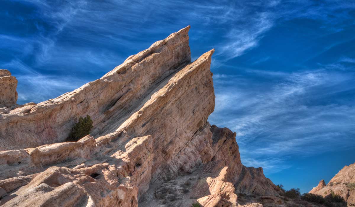
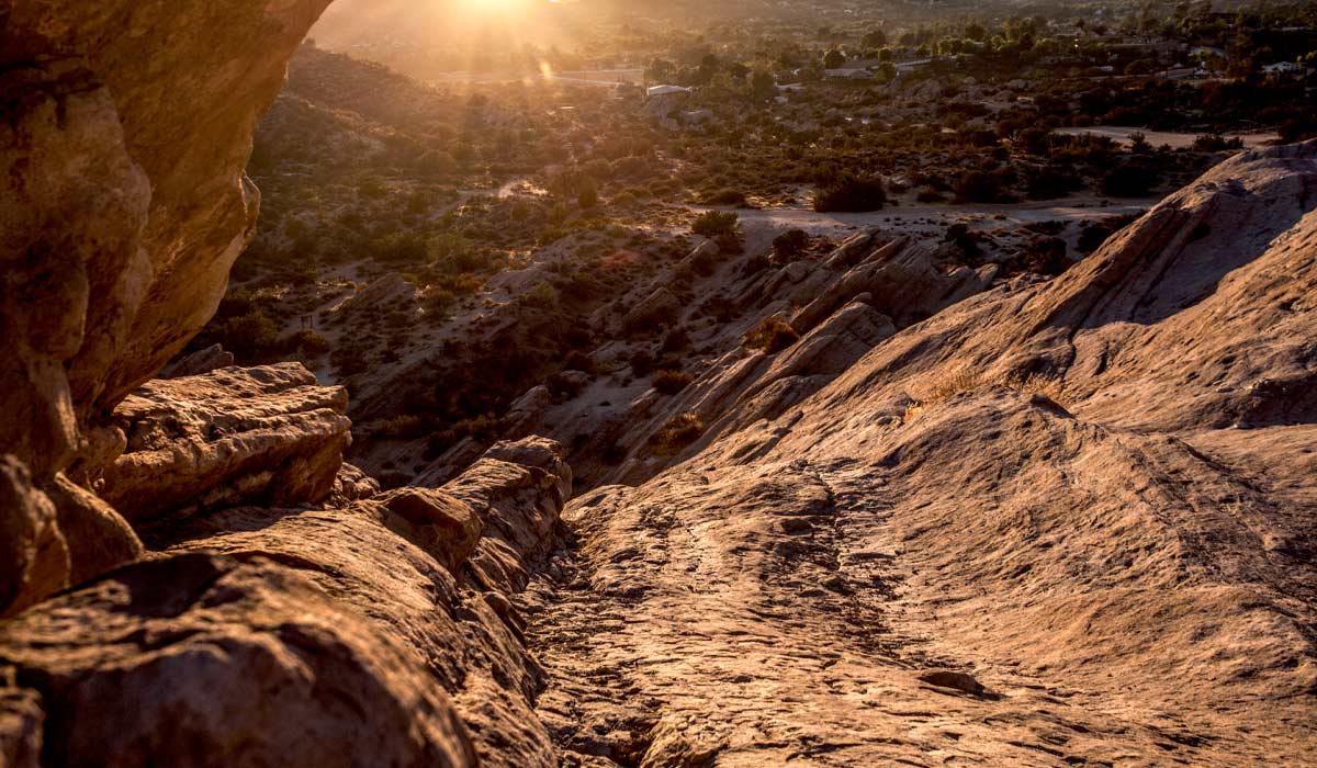
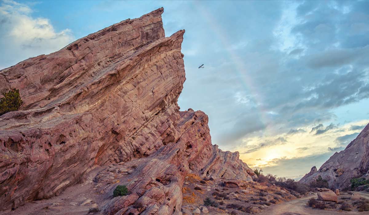
Located within the striking Vasquez Rocks Natural Area Park in Agua Dulce, Los Angeles County, the Vasquez Rocks Trail meanders through a landscape adorned with prehistoric rock formations dating back 25 million years. This 3.7-mile loop trail offers hikers a glimpse into the fascinating earthquake geology of the region, with its rugged terrain and breathtaking vistas. But it's not just nature that draws visitors here; this scenic park has played a starring role in countless movies and TV shows, lending its unique backdrop to iconic cultural moments. From standing in as the home of Vulcans and the Flinstones to appearing in classics like "Dracula," "Blazing Saddles," and "Little Miss Sunshine," Vasquez Rocks has left an indelible mark on cinematic history. Its rugged beauty has also graced the small screen in beloved TV shows such as "Bonanza," "The Rifleman," "Kung Fu," "Mission: Impossible," and "The Twilight Zone," solidifying its status as a legendary filming location.
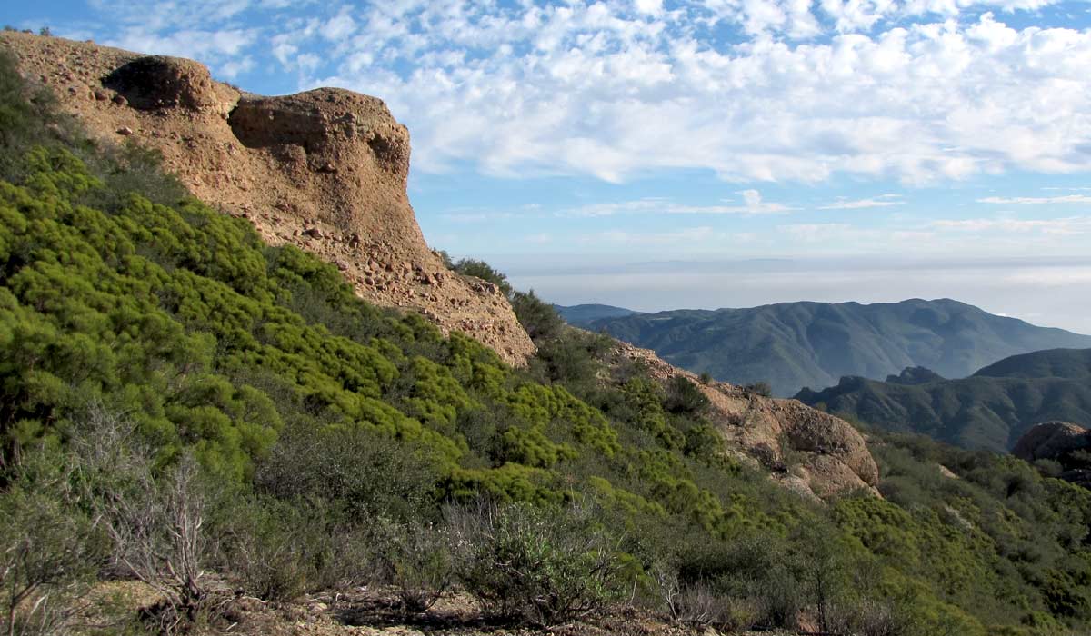
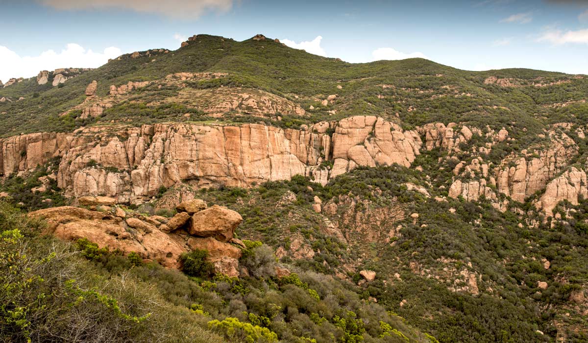
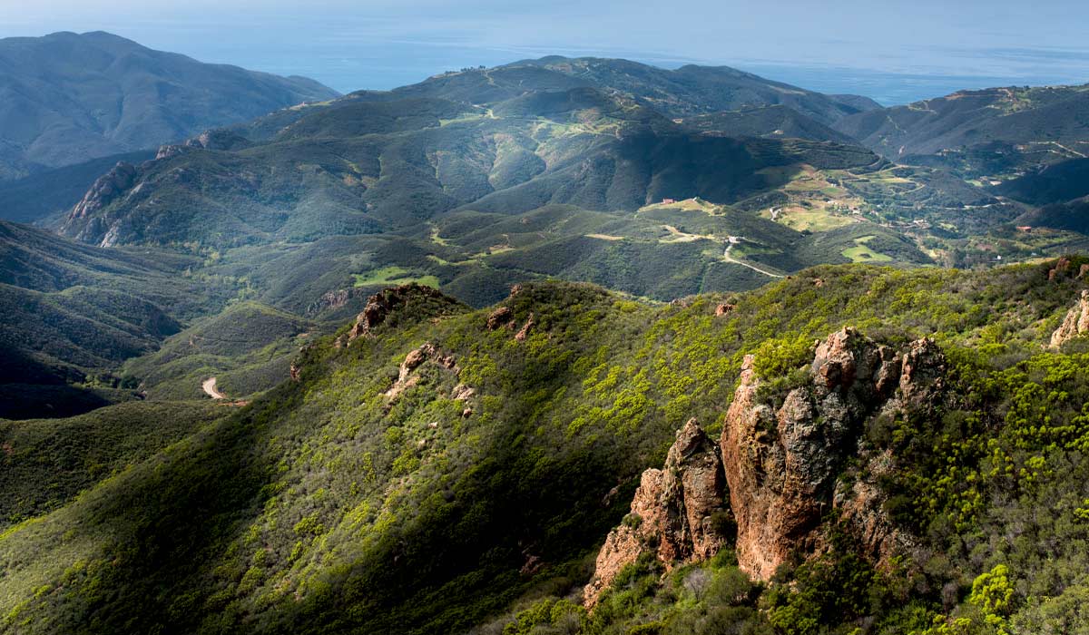
Embark on a quintessential Southern California hiking experience along the Mishe Mokwa Trail to Sandstone Peak in the Santa Monica Mountains of Thousand Oaks, Los Angeles County. Revered as a "must-hike" trail, this picturesque route leads adventurers to the summit of Sandstone Peak, also known as Mount Allen, towering at 3,111 feet—the highest point in the Santa Monica Mountains. Along the journey, hikers are treated to breathtaking views of the Pacific Ocean and Santa Monica Bay, while marveling at the remnants of ancient volcanic activity that shaped this rugged landscape over millions of years. Highlights of the trek include fascinating geological formations such as Split Rock and Balancing Rock, accessible via unmanned trails branching off from Mishe Mokwa. As you traverse this iconic trail, you not only immerse yourself in the natural beauty of the region but also follow in the footsteps of cinematic legends, with nearby locales like the former 20th Century Fox Ranch—now Malibu Creek State Park—having served as the backdrop for Oscar-winning dramas like "How Green Was My Valley" and science fiction classics such as the original "Planet of the Apes." Television enthusiasts will recognize the area from beloved shows like "Daniel Boone," "The Rifleman," and the legendary "MAS*H," cementing its status as a cultural and cinematic landmark in the heart of the Santa Monica Mountains.
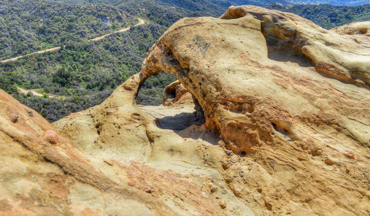
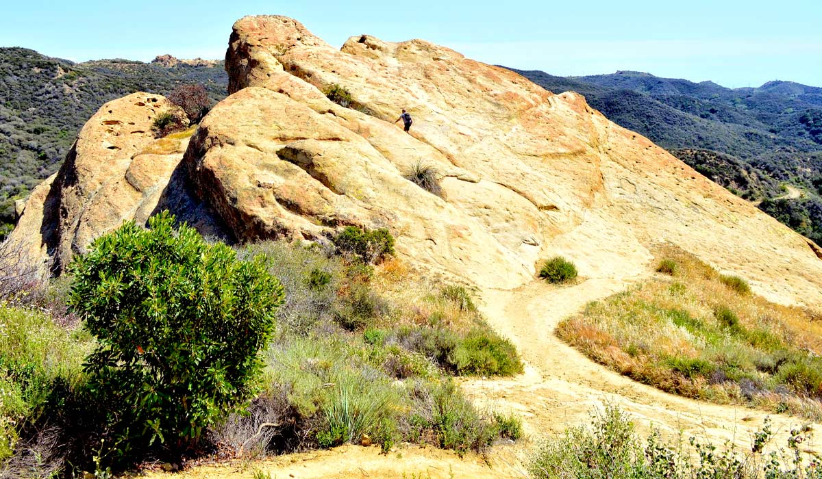
Embark on a captivating journey through the scenic landscapes of Topanga State Park along the Trippet Ranch to Eagle Springs Loop Trail in Topanga, Los Angeles, California. Spanning 6.1 miles, this heavily trafficked loop trail offers outdoor enthusiasts a memorable adventure amidst nature's splendor. The trail leads to the awe-inspiring Eagle Rock, a colossal monolith featuring a massive granite boulder adorned with the imprint of what appears to be an eagle in full flight—an iconic sight reminiscent of Pride Rock from Disney's The Lion King. Beyond its striking geological formations, Eagle Rock offers visitors a breathtaking panoramic view of Santa Monica, making it a popular destination for hikers, trail runners, and mountain bikers alike. As you traverse this remarkable trail, you'll not only immerse yourself in the beauty of Topanga State Park but also witness firsthand the majestic allure of Eagle Rock, a natural wonder that captures the imagination and leaves a lasting impression on all who venture to its summit.
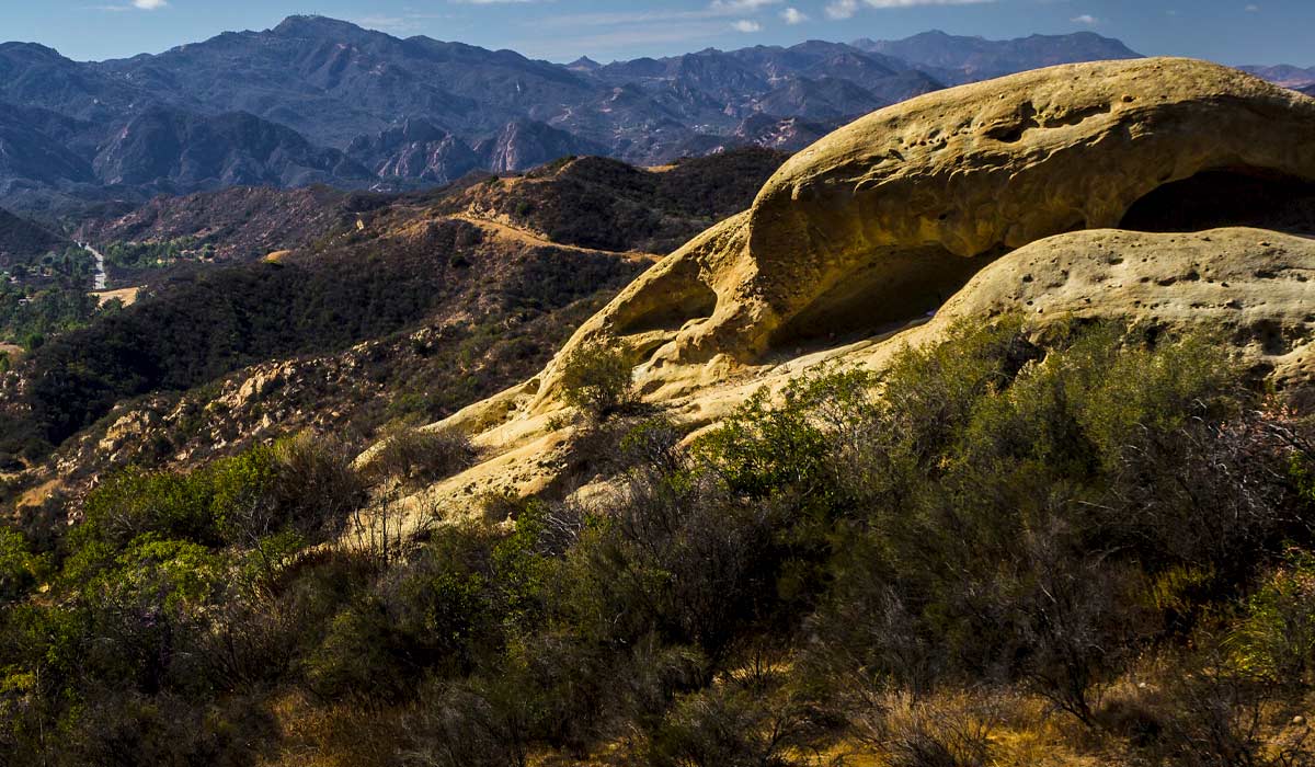
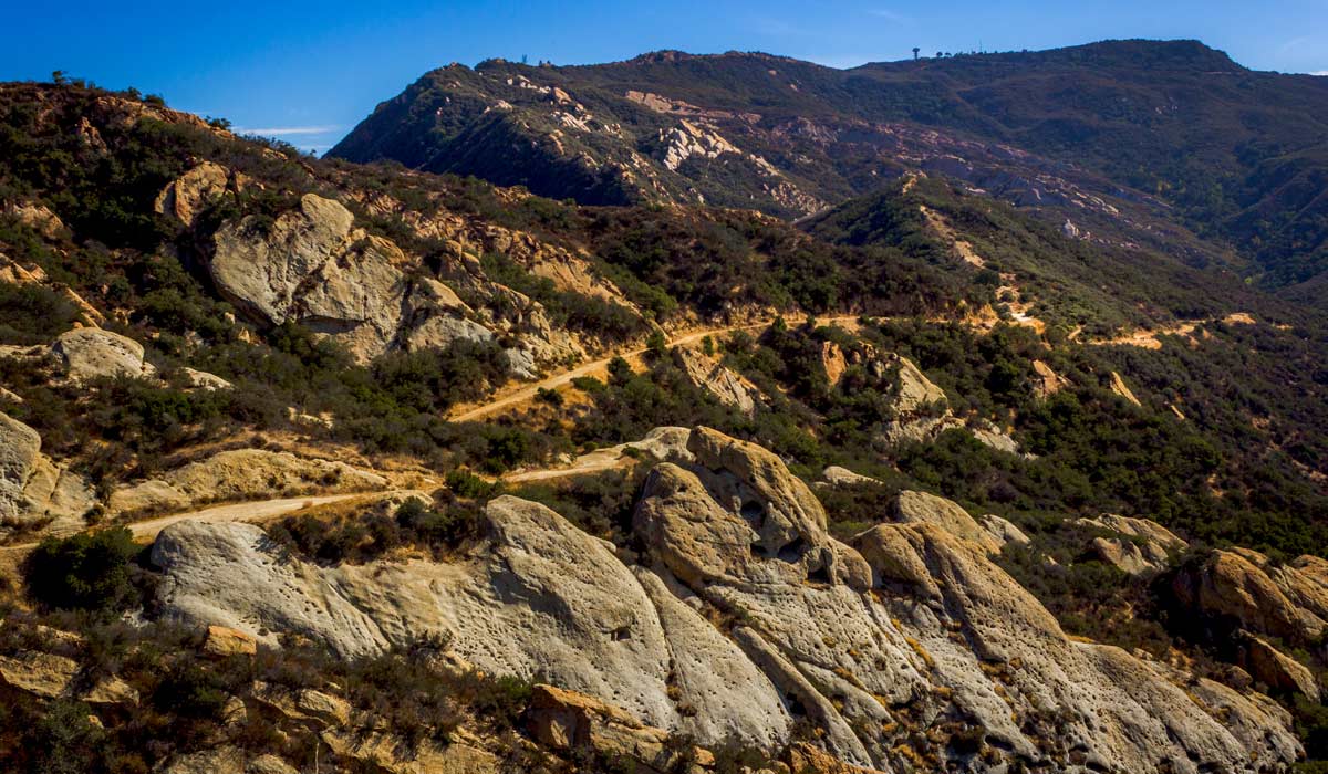
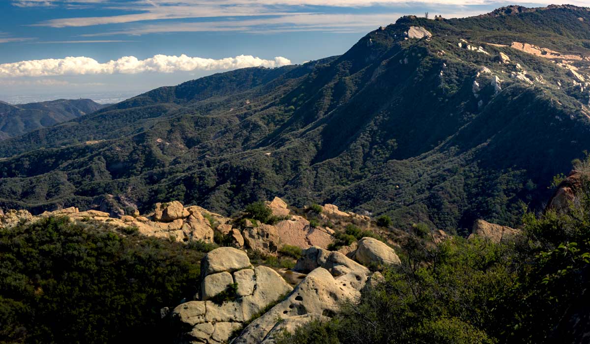
Embark on a cinematic adventure amidst the breathtaking landscapes of Topanga, Los Angeles, California, along the Calabasas Peak Trail via Red Rock Canyon Park. This 4.2-mile round trip hike, with 900 feet of elevation change, guides explorers along an easily navigable fire road, passing below the summit of Calabasas Peak, nestled in the majestic Santa Monica Mountains. As hikers traverse the trail, they'll encounter a mesmerizing array of geological formations, shaped over time into intriguing and unique silhouettes, complemented by a diverse ecosystem of shrubs and trees. Amidst this natural wonder, lies the historic Paramount Ranch in Agoura Hills, California, near Malibu Creek State Park, a revered filming location and outdoor studio for Paramount Pictures. Renowned for its appearances in iconic productions like "Westworld," Paramount Ranch stands as a living testament to the region's rich cinematic heritage, inviting visitors to explore its storied grounds and immerse themselves in the magic of Hollywood's golden era.
Explore one of the most dramatic rocky landscapes in the Santa Susana Mountains along the Rocky Peak Trail in Simi Valley, just northwest of Los Angeles. This approximately 4.6-mile out-and-back hike climbs through a striking landscape of enormous sandstone boulders, rugged outcroppings, narrow rocky passages, and open hillsides overlooking Simi Valley and the San Fernando Valley. The terrain becomes increasingly impressive as you gain elevation, with massive formations scattered across the mountainside and unusual sandstone features carved by wind and erosion. One of the trail's most memorable geological attractions is a natural sandstone wind cave, where centuries of weathering have carved a tunnel through the soft rock. Rocky Peak is an excellent choice for hikers who want a more rugged experience than the relatively gentle trails around Los Angeles, while still remaining close to the city. The surrounding Rocky Peak Park encompasses thousands of acres of protected open space and is recognized for its spectacular sandstone boulders and rock formations, making this one of the area's standout destinations for geology enthusiasts, hikers, and photographers.
Step into one of Los Angeles County's most fascinating geological landscapes at the Devil's Punchbowl Natural Area near Pearblossom. The approximately 1.1-mile Devil's Punchbowl Loop descends into a dramatic canyon surrounded by massive sandstone formations that were pushed, folded, and tilted by powerful tectonic forces along the San Andreas and Punchbowl faults. Towering sandstone walls, enormous boulders, narrow passages, and colorful layers of rock create an otherworldly landscape that feels surprisingly remote despite being within Los Angeles County. The trail also follows the course of Punchbowl Creek, where water continues to shape the canyon and its ancient sandstone formations. For hikers interested in geology, this is one of the most rewarding short hikes in Southern California because the rocks provide an unusually visible record of fault movement and erosion. Adventurous hikers can also explore the longer Devil's Chair route, which follows the mountainside toward a spectacular overlook above the Punchbowl formation.
Discover one of the most unusual rock adventures in the Los Angeles area on the Cave of Munits and Castle Peak Trail in the Simi Hills near West Hills. Beginning in El Escorpion Park, the route crosses the open hills before reaching the dramatic sandstone formation known as the Cave of Munits. The cave is essentially a natural sandstone chimney carved into the mountainside, and adventurous hikers can scramble through its rocky interior before continuing upward toward Castle Peak. Above the cave, the landscape becomes increasingly rugged, with steep slopes, large boulders, exposed sandstone, and a rocky ridgeline offering expansive views across the Santa Monica Mountains, Santa Susana Mountains, and San Fernando Valley. Unlike many conventional Los Angeles hikes, this route combines hiking with genuine rock scrambling and exploration, making it particularly appealing to experienced hikers looking for something more adventurous. The area also has deep cultural significance, and the Cave of Munits and surrounding landscape are associated with the Chumash people. Because portions of the route are steep, rocky, and unmaintained, hikers should use extra caution and be comfortable with scrambling before attempting the cave and Castle Peak sections.
Climb through the rugged sandstone landscape of the Santa Susana Mountains along the Hummingbird Creek Trail in eastern Simi Valley. This challenging route follows Hummingbird Creek before ascending through a striking series of sandstone cliffs, boulders, rock walls, and narrow formations. The approximately 2.3-mile trail gains more than 1,000 feet of elevation as it climbs toward the Rocky Peak Fire Road, making it a considerably more strenuous adventure than many of the shorter rock-viewing hikes around Los Angeles. Along the way, hikers encounter towering sandstone formations and, depending on seasonal conditions, small cascades flowing over the rocks after winter and spring rains. The trail eventually connects with the Rocky Peak area, allowing ambitious hikers to continue exploring one of the largest concentrations of dramatic sandstone formations in the Santa Susana Mountains. With steep terrain, limited shade, and exposed rocky sections, Hummingbird Creek Trail is best suited to experienced hikers looking for a physically demanding route surrounded by unusual geological scenery.
Explore the rugged landscape of Bronson Canyon in Griffith Park, where a short hike leads through a dramatic former rock quarry that has become one of Los Angeles' most recognizable cinematic landscapes. The Bronson Caves are not natural caves but remnants of a quarry operated by the Union Rock Company beginning in the early 1900s, leaving behind jagged rock walls, tunnels, and cave-like openings surrounded by the dry, rugged terrain of Griffith Park. The unusual formations have appeared in hundreds of movies and television productions, most famously serving as the entrance to the Batcave in the classic "Batman" television series. The trail is relatively short and accessible compared with the longer mountain hikes on this list, making it an excellent choice for visitors who want to experience Los Angeles geology and Hollywood history in the same outing. From the canyon, hikers can also connect with surrounding Griffith Park trails and viewpoints for broader views of the Hollywood Hills and Los Angeles basin.