Explore Scenic Vistas, Rolling Hills, and Stunning Landscapes
Last Updated: February 22, 2026
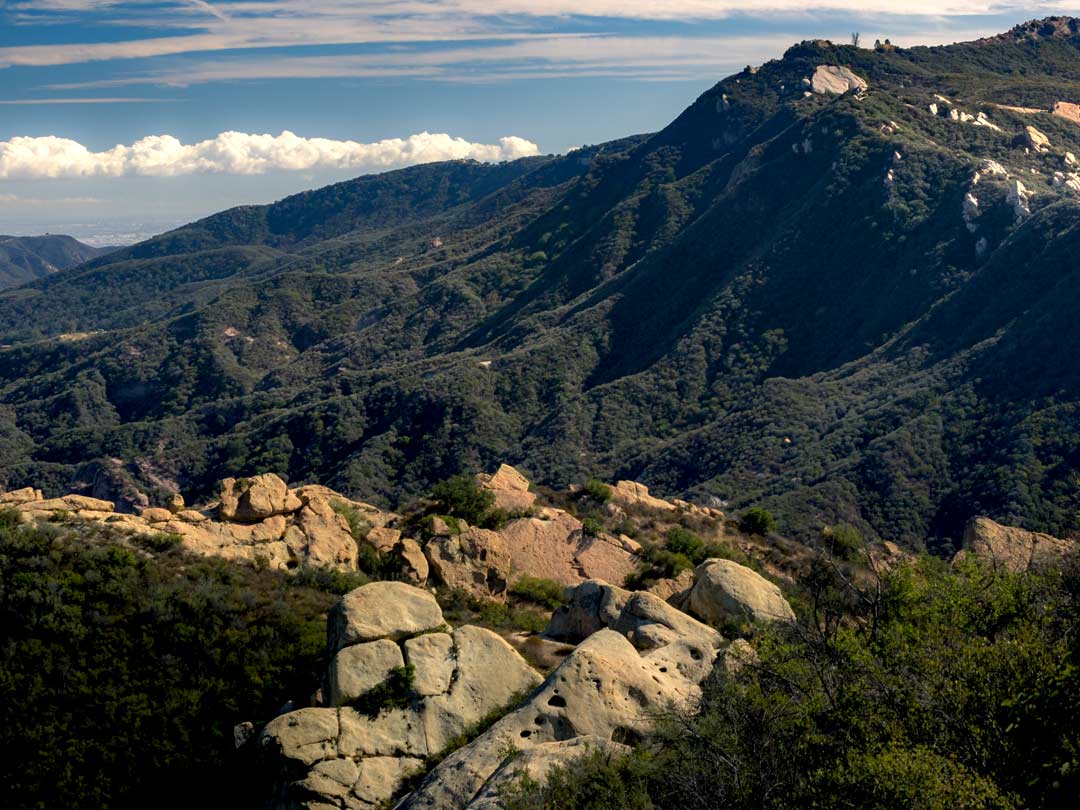
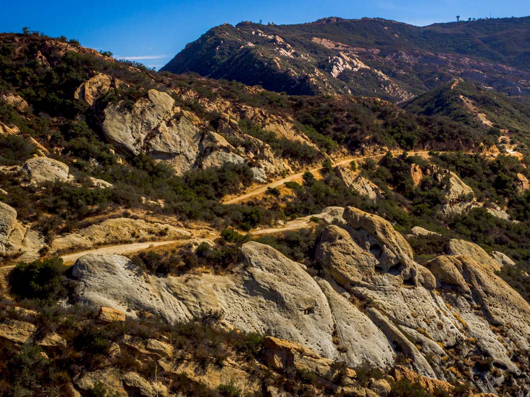
Calabasas Peak is a mountain located in the Santa Monica Mountains in the city of Calabasas, California that offers panoramic views of the Santa Monica Mountains, Red Rock Canyon Park, and a slice of the Pacific Ocean. The peak is the highest point in a wide ascent that runs parallel to Mulholland Highway, which is a part of the larger Santa Monica Mountains. Calabasas Peak is accessible via the Calabasas Peak Motorway, also known as Calabasas Peak Trail.
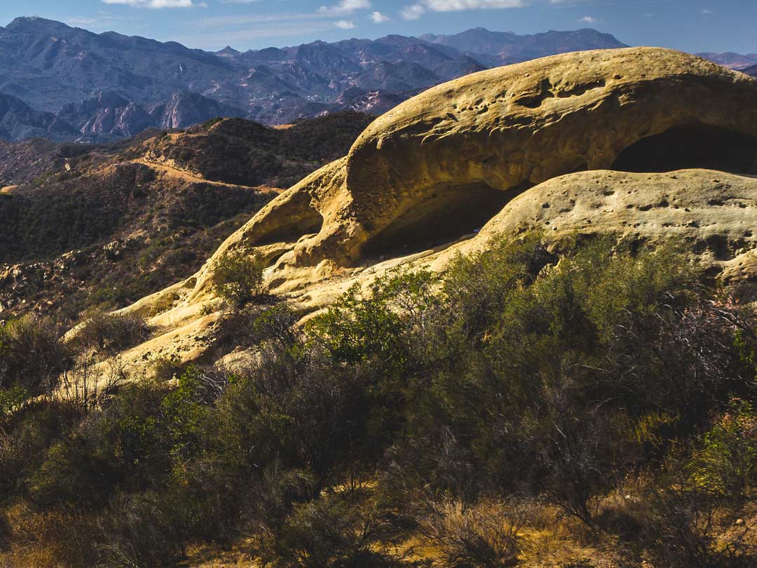
Calabasas Peak Trail is a 4.2-mile round trip hike with 900 feet of elevation change that passes below the summit of Calabasas Peak. The Calabasas Peak Trail passes a variety of interesting geological formations, such as largely weathered sandstone outcroppings and colorful rock slabs. The sandstone bluffs and outcroppings of the Santa Monica Mountains were formed many millions of years ago as part of the seabed of an ancient ocean.
Hikers on the trail can examine interesting sandstone rock formations on and around Calabasas Peak and enjoy broad views over a scenic part of the Santa Monica Mountains between Topanga and Agoura Hills.
via Red Rock Canyon Park in Topanga
Distance: 4.2 miles Roundtrip
Elevation gain: 900 feet
Suggested time: 2.5 hours